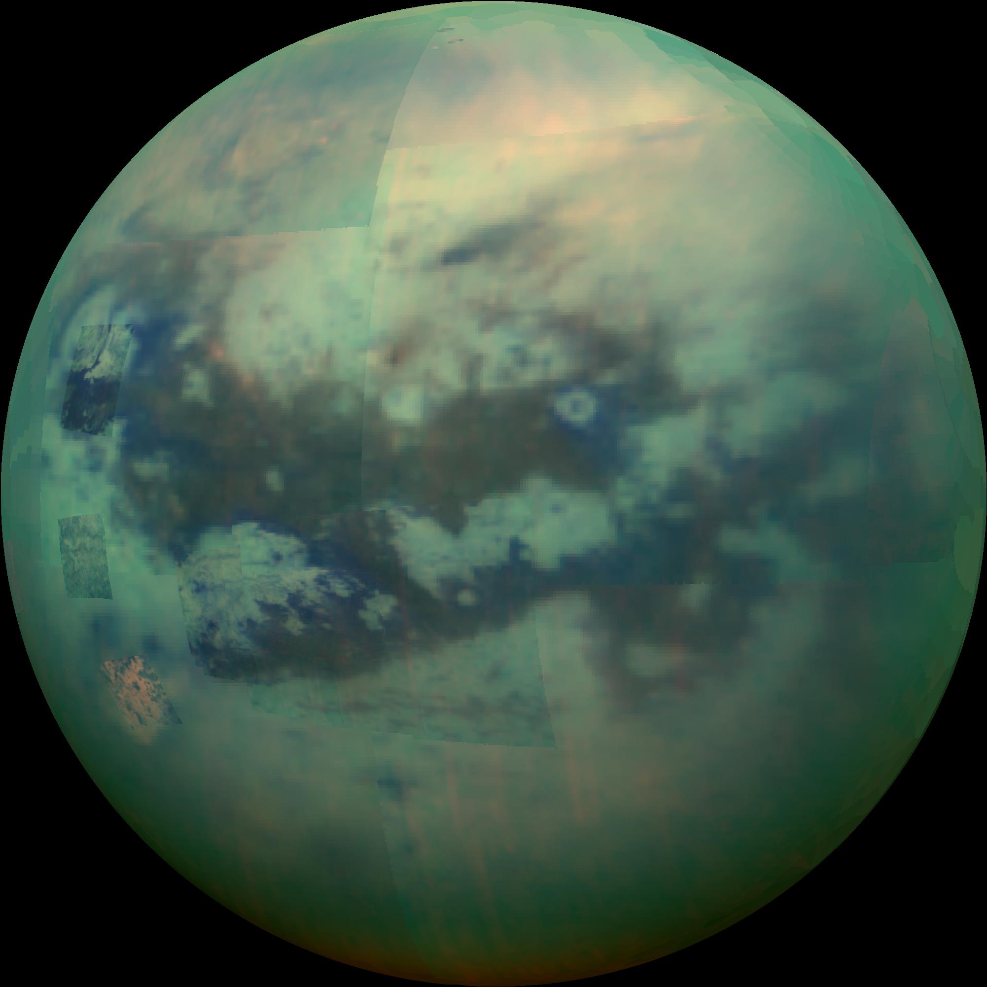
This composite infra red image of Saturn’s moon Titan was taken on 13 November by NASA’s Cassini probe. The spacecraft’s visual and infrared mapping spectrometer (VIMS) instrument made these observations, in which blue represents wavelengths centered at 1.3 microns, green represents 2.0 microns, and red represents 5.0 microns. A view at visible wavelengths (centered around 0.5 microns) would show only Titan’s hazy atmosphere. The near-infrared wavelengths in this image allow Cassini’s vision to penetrate the haze and reveal the moon’s surface.
During this Titan flyby, the spacecraft’s closest-approach altitude was 10,000 kilometres (6,200 miles), which is considerably higher than those of typical flybys, which are around 1,200 kilometres (750 miles). The high flyby allowed VIMS to gather moderate-resolution views over wide areas (typically at a few kilometres per pixel).
The view looks toward terrain that is mostly on the Saturn-facing hemisphere of Titan. The scene features the parallel, dark, dune-filled regions named Fensal (to the north) and Aztlan (to the south), which form the shape of a sideways letter “H.”
Several places on the image show the surface at higher resolution than elsewhere. These areas, called subframes, show more detail because they were acquired near closest approach. They have finer resolution, but cover smaller areas than data obtained when Cassini was farther away from Titan.
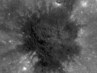
Near the limb at left, above centre, is the best VIMS view so far of Titan’s largest confirmed impact crater, Menrva (first seen by the RADAR instrument in PIA07365). Similarly detailed subframes show eastern Xanadu, the basin Hotei Regio, and channels within bright terrains east of Xanadu.
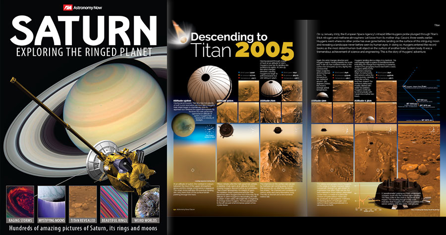
Saturn: Exploring the Ringed Planet
Find out more about Titan in this 196-page special edition from Astronomy Now. Available in WHSmith or order online.