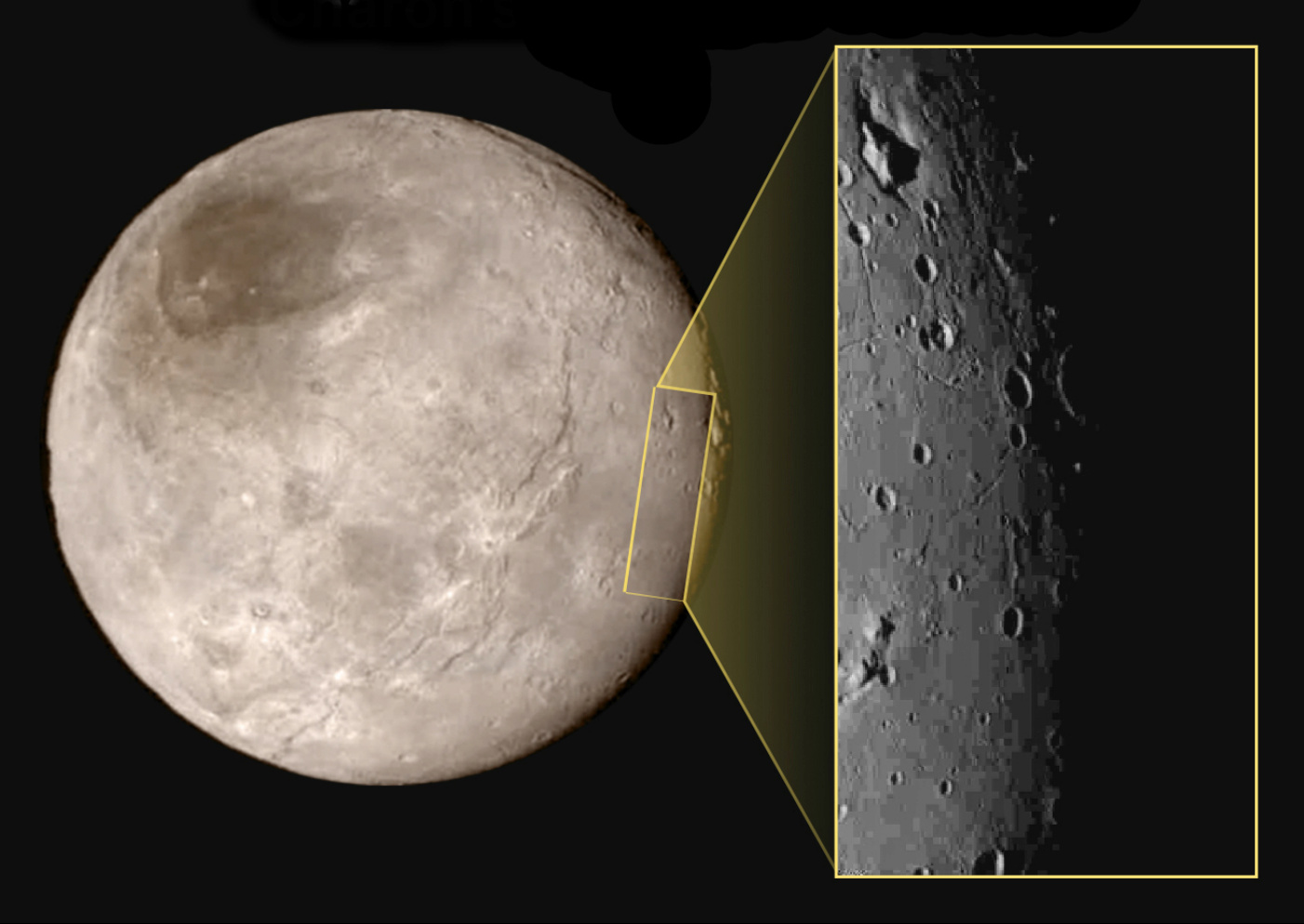
This new image of an area on Pluto’s largest moon Charon has a captivating feature — a depression with a peak in the middle, shown here in the upper left corner of the inset. The image shows an area approximately 240 miles (390 kilometres) from top to bottom, including few visible craters. The image was taken at approximately 10:30 UTC (11:30am BST) on 14 July 2015, about 1.5 hours before closest approach to Pluto, from a range of 49,000 miles (79,000 kilometres). Image credits: NASA-JHUAPL-SwRI.This image gives a preview of what the surface of this large moon will look like in future close-ups from NASA’s New Horizons spacecraft. This image is heavily compressed; sharper versions are anticipated when the full-fidelity data from New Horizons’ Long Range Reconnaissance Imager (LORRI) are returned to Earth.
The rectangle superimposed on the global view of Charon shows the approximate location of this close-up view.
The image was taken at approximately 6:30am EDT on 14 July 2015, about 1.5 hours before closest approach to Pluto, from a range of 49,000 miles (79,000 kilometres).
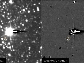
Exactly 85 years after Clyde Tombaugh’s historic discovery of Pluto, NASA’s New Horizons spacecraft set to encounter the icy dwarf planet this summer is providing its first views of the small moons orbiting Pluto.
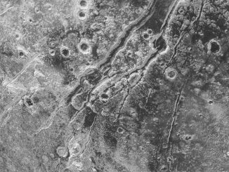
NASA’s New Horizons spacecraft spied extensional faults on Pluto, a sign that the dwarf planet has undergone a global expansion possibly due to the slow freezing of a sub-surface ocean. A new analysis by Brown University scientists bolsters that idea, and suggests that ocean is likely still there today.