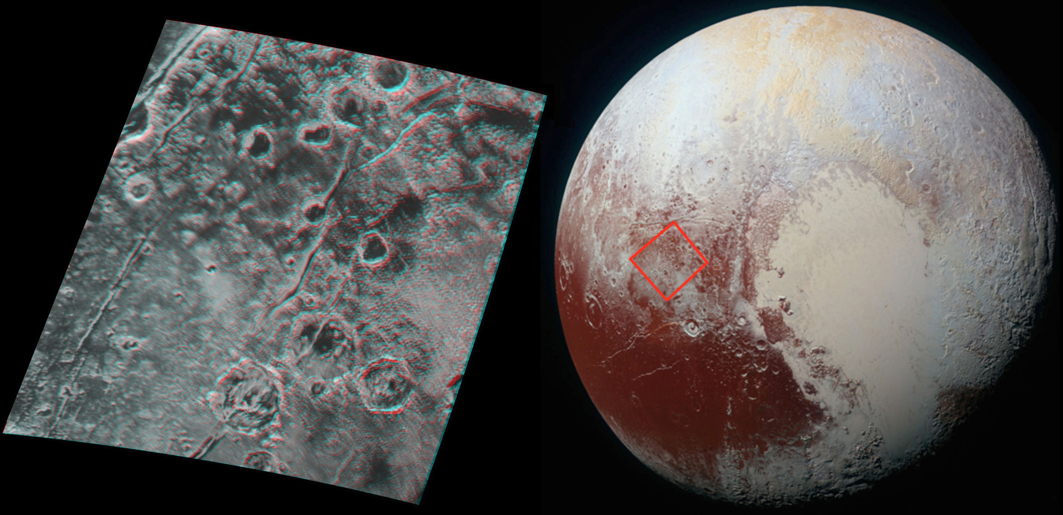
This 3-D image of Pluto, which requires red/blue stereo glasses for viewing (click the picture for a full-screen version), shows a region 180 miles (300 kilometres) across, centred near longitude 130°E, latitude 20°N (the red square in the global context image). North is to the upper left. The image shows an ancient, heavily cratered region of Pluto, dotted with low hills and cut by deep fractures indicating extension of Pluto’s crust. Image credit: NASA/JHUAPL/SwRI.Global stereo mapping of Pluto’s surface is now possible, as images taken from multiple directions are downlinked from NASA’s New Horizons spacecraft. Stereo images will eventually provide an accurate topographic map of most of the hemisphere of Pluto seen by New Horizons during the 14 July flyby, which will be key to understanding Pluto’s geological history.
This example, which requires red/blue stereo glasses for viewing, shows a region 180 miles (300 kilometres) across, centered near longitude 130°E, latitude 20°N (the red square in the global context image). North is to the upper left. The image shows an ancient, heavily cratered region of Pluto, dotted with low hills and cut by deep fractures indicating extension of Pluto’s crust.
Analysis of these stereo images shows that the steep fracture in the upper left of the image is about 1 mile (1.6 kilometres) deep, and the craters in the lower right part of the image are up to 1.3 miles (2.1 kilometres) deep. Smallest visible details are about 0.4 miles (0.6 kilometres) across.
Speeding through the outer solar system after a nine-year trek from Earth, NASA’s New Horizons spacecraft is awake and preparing for an encounter next summer with Pluto.
NASA’s New Horizons spacecraft doesn’t pass Pluto until July 14th — zipping by about 7,800 miles (12,500 kilometres) above the surface of the dwarf planet after a journey of almost 3 billion miles — but the mission team is making tantalising new discoveries as the piano-sized probe bears down on the Pluto system.
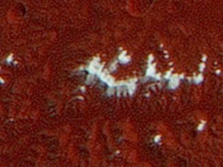
NASA’s New Horizons team has discovered a chain of exotic snowcapped mountains stretching across the dark expanse on Pluto informally named Cthulhu Regio. One of the dwarf planet’s most identifiable features, Cthulhu (pronounced kuh-THU-lu) is a bit larger than the state of Alaska and stretches nearly halfway around Pluto’s equator.