Wright Mons in colour. This composite image of a possible ice volcano on Pluto includes pictures taken by the New Horizons spacecraft’s Long Range Reconnaissance Imager (LORRI) on 14 July 2015, from a range of about 30,000 miles (48,000 kilometres), showing features as small as 1,500 feet (450 metres) across. Sprinkled across the LORRI mosaic is enhanced colour data from the Ralph/Multispectral Visible Imaging Camera (MVIC), from a range of 21,000 miles (34,000 kilometres) and at a resolution of about 2,100 feet (650 metres) per pixel. The entire scene is 140 miles (230 kilometres) across. Image credits: NASA/JHUAPL/SwRI.Scientists with NASA’s New Horizons mission have assembled this highest-resolution colour view of one of two potential cryovolcanoes spotted on the surface of Pluto by the New Horizons spacecraft in July 2015.
This feature, known as Wright Mons, was informally named by the New Horizons team in honour of the Wright brothers. At about 90 miles (150 kilometres) across and 2.5 miles (4 kilometres) high, this feature is enormous. If it is in fact a volcano, as suspected, it would be the largest such feature discovered in the outer solar system.
Mission scientists are intrigued by the sparse distribution of red material in the image and wonder why it is not more widespread. Also perplexing is that there is only one identified impact crater on Wright Mons itself, telling scientists that the surface (as well as some of the crust underneath) was created relatively recently. This is turn may indicate that Wright Mons was volcanically active late in Pluto’s history.Image credits: NASA/JHUAPL/SwRI.
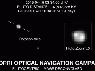
For the first time, images from NASA’s New Horizons spacecraft are revealing bright and dark regions on the surface of faraway Pluto — the primary target of the New Horizons close flyby in mid-July.
Scientists planning the the next phase of NASA’s New Horizons mission, a robotic craft that completed the first exploration of Pluto in 2015, are going into the flyby of a frozen, faraway city-sized clump of rock on New Year’s Day 2019 armed with little knowledge of the target lurking around 4 billion miles from Earth.
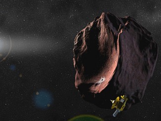
NASA has selected the potential next destination for the New Horizons mission to visit after its historic 14 July flyby of the Pluto system. The target is a 30-mile-wide Kuiper Belt object (KBO) known as 2014 MU69 that orbits nearly a billion miles beyond Pluto. New Horizons expects to reach the object, nicknamed “PT1” (Potential Target 1), on 1 January 2019.