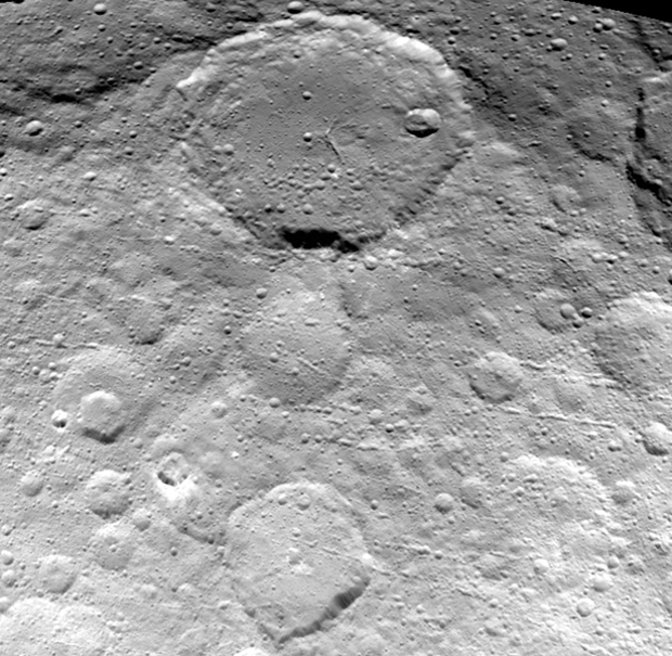
This new view of Ceres’ surface captured May 23rd and seen from a distance of 3,200 miles (5,100 kilometres) shows finer details coming into view as NASA’s Dawn spacecraft spirals down to increasingly lower orbits. Resolution in the image is about 1,600 feet (480 metres) per pixel. Image credit: NASA/JPL-Caltech/UCLA/MPS/DLR/IDA.The view shows numerous secondary craters, formed by the re-impact of debris strewn from larger impact sites. Smaller surface details like this are becoming visible with increasing clarity as Dawn spirals lower in its campaign to map Ceres.
The region shown here is located between 13° and 51° north latitude and 182° and 228° east longitude. The image has been projected onto a globe of Ceres, which accounts for the small notch of black at upper right.
OpNav9 is the ninth and final set of Dawn images of Ceres taken primarily for navigation purposes.
One month after its capture into orbit around Ceres, NASA engineers working on the Dawn mission state that the spacecraft is performing flawlessly and about to start capturing optical navigation images on April 10th.
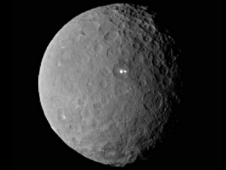
As NASA’s Dawn spacecraft heads for its historic rendezvous with dwarf planet Ceres next week, further mysteries unfold on the small world. Now seen in higher resolution, a volcano-like bright spot has a nearby companion.
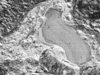
This feature appears to be a frozen, former lake of liquid nitrogen, located in a mountain range just north of Pluto’s informally named Sputnik Planum. Captured by the New Horizons’ Long Range Reconnaissance Imager (LORRI) as the spacecraft flew past Pluto on 14 July 2015, the image shows the possible lake to be about 20 miles (30 kilometres) across.