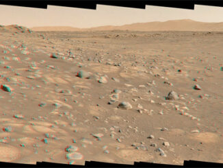
This panorama was taken by the rover’s MastCam – from a ‘clay-bearing unit’ on the flank of Mount Sharp. The mountain’s mineralogy was heavily influenced by running water billions of years ago, when Gale crater was a lake, and the clay-rich material is a product of that water. Curiosity is now heading further up the slopes of the mountain, to a ‘sulphate-bearing unit’, which it will hopefully have reached by the time that you read this.
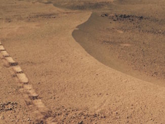
The panorama looks out over the floor of Gale crater, towards its northern rim, which forms the horizon. To the left are the upper reaches of Mount Sharp, while terraces in the mid-distance formed when regions of softer rock eroded away, leaving cliff-like layers of harder rock that does not erode as easily.